Survey Control & Ground Investigation
Corridor control networks and the ground investigation that tells you what the road, bridge or tunnel is actually standing on.
Last updated 2026-07-28 by the BuildPedia Editorial Team.
What is Survey Control & Ground Investigation?
On infrastructure, survey control and ground investigation are joined at the hip: one fixes where everything goes, the other decides whether it can go there at all. A highway scheme or a tunnel drive stretches over ground that changes character every few hundred metres, and the design is only as good as the boreholes, trial pits and tests that went into it. Get either wrong and the consequences are measured in years and millions — an embankment that keeps settling, a tunnel alignment that meets running sand nobody logged.
Ground investigation in the UK follows BS 5930, the code of practice for ground investigations, with design derivation to BS EN 1997-2 (Eurocode 7 ground investigation and testing); for highway schemes the DMRB — notably CS 641 on managing geotechnical risk — sets how the ground risk is identified, allocated and driven down through the design stages. The investigation runs in phases: desk study, walkover, intrusive works, laboratory testing, then the factual and interpretative reports that feed the design.
In the UAE the ground has its own signature: dune sands and sabkha — salt-flat deposits — with saline groundwater often within a metre or two of the surface in coastal zones. Chloride and sulphate contents drive durability decisions for every buried structure, so the chemistry testing matters as much as the strength testing. The geotechnical report is also an approval document: Dubai Municipality requires a soil investigation report with infrastructure and building submissions, and trial pits for the investigation themselves need NOCs when they sit in the right of way.
When and why is Survey Control & Ground Investigation used?
Survey control is established and the ground investigation commissioned immediately after corridor access, before any earthworks, because the works themselves will destroy the existing ground surface — and you cannot investigate or set out from ground you have already moved. It matters because every downstream decision — pavement thickness, foundation type, tunnel method, dewatering design — is built on the GI, and control stations knocked out by earthworks plant and re-established by guesswork propagate errors through every structure on the scheme. At the domestic end the same logic shrinks honestly: a house extension merits a trial pit or a window-sample borehole and a percolation test for the soakaway, and the BS 5930 discipline of logging what is actually in the ground — rather than what was hoped — is exactly what protects the smallest jobs.
Types of Survey Control & Ground Investigation
Trial pits and trenches
Machine-dug pits, typically to 3–4.5 m, that expose the shallow ground profile exactly as it is — the cheapest way to see soil structure, fill, and buried obstructions. Along a corridor they double as service-proving excavations. Pits are logged, photographed and sampled in situ, then backfilled and compacted; in the road reserve they need their own NOC in Dubai and a reinstatement to the highway authority's standard in the UK.
Cable percussive and rotary boreholes
Shell-and-auger (cable percussion) rigs for soils to 20–30 m, rotary coring for rock and hard strata. Boreholes give the depth profile for foundations and tunnels: disturbed and undisturbed samples, standard penetration tests, and installations for groundwater monitoring. The workhorse of any structure site.
CPTs and window sampling
Cone penetration tests push an instrumented cone into the ground, logging resistance continuously — fast, repeatable and excellent in the uniform sands of the Gulf, where boreholes can collapse. Window sampling drives small-diameter tubes for continuous shallow profiles. Both mobilise quickly along a linear corridor.
Geophysics and non-intrusive survey
Ground-penetrating radar, resistivity and seismic methods that cover long distances quickly, locating voids, buried obstructions, bedrock profiles and groundwater changes between boreholes. Non-intrusive survey guides where the expensive intrusive holes go — it supplements boreholes, never replaces them.
Survey Control & Ground Investigation: step by step
Step 1: Desk study and walkover
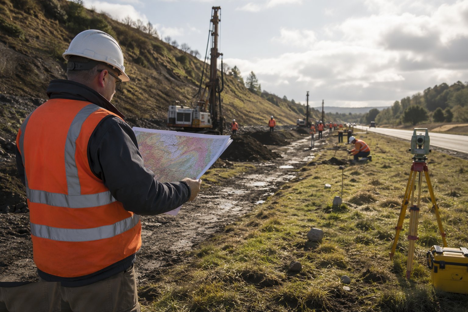
Start in the office: geological maps, historical mapping (a filled quarry or a backfilled pit on the 1890s map explains a lot), previous GIs, mining records, flood data and utility records. Then walk the route with the desk study in hand, confirming features, noting springs, slope instability and access constraints for the rigs. The walkover survey and desk study together define what the intrusive investigation must answer.
Step 2: Design the ground investigation
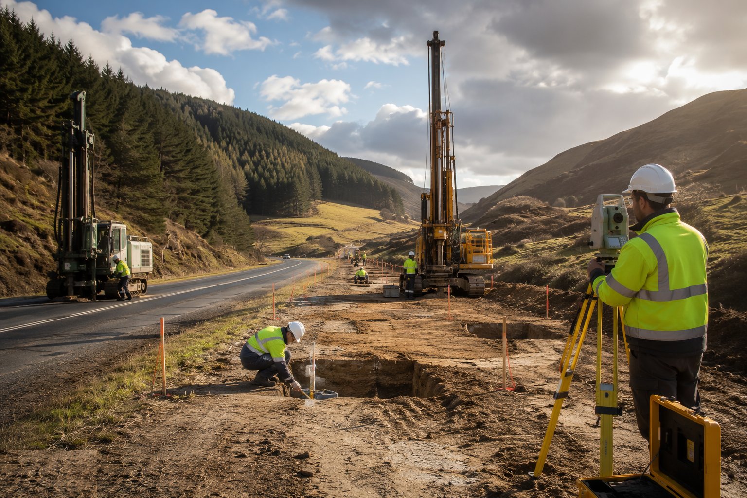
Fix the exploratory hole locations, depths and methods against the proposed works: boreholes at every structure, holes at intervals along the alignment, trial pits in cuttings and at borrow or fill areas, and extra holes where the desk study flags risk. In the UK, highway schemes structure this under the DMRB geotechnical risk management process; the GI designer signs off the scope before mobilisation.
Step 3: Clear services and mobilise
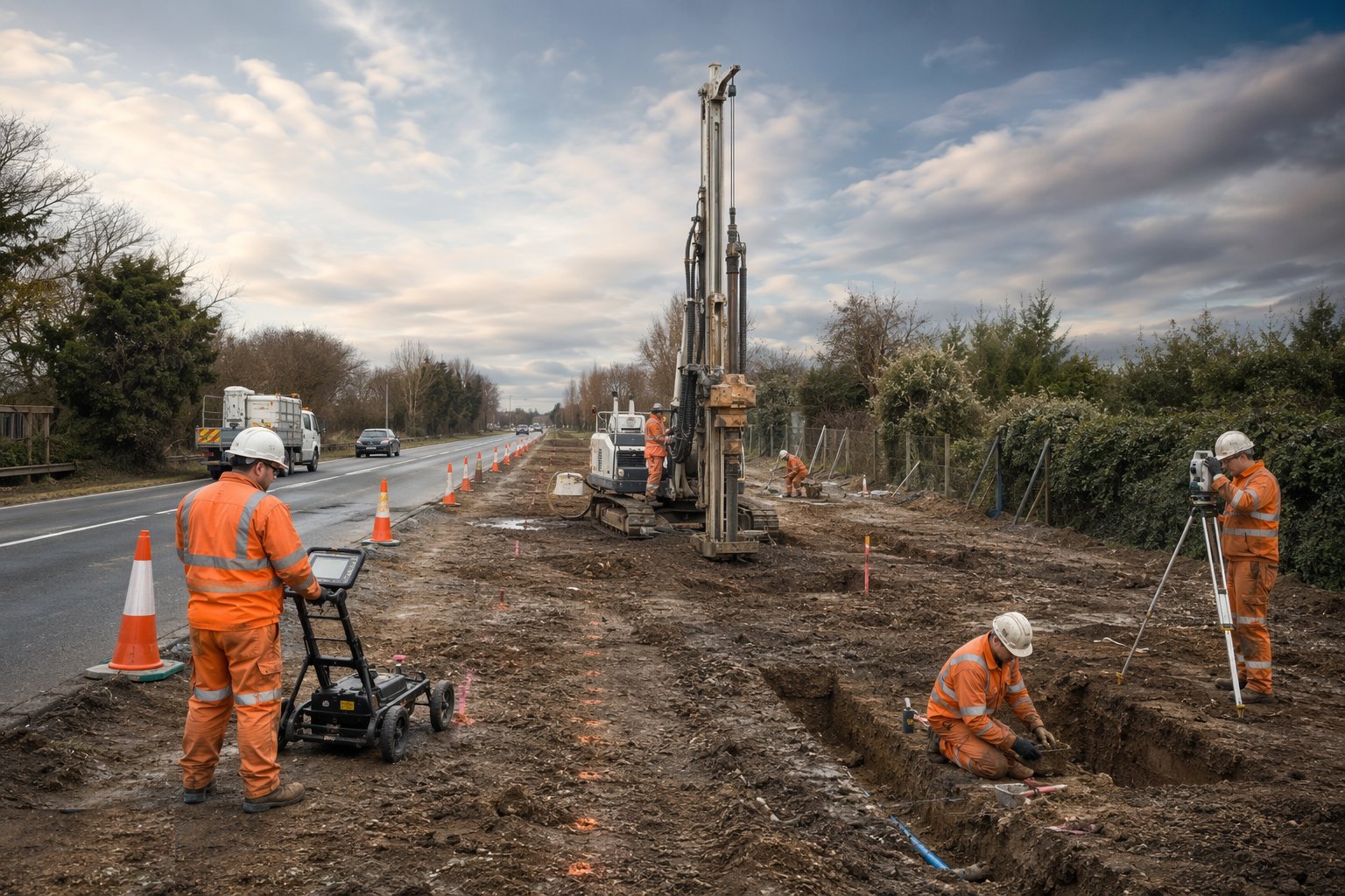
Every exploratory hole gets the same service-clearance discipline as construction excavation: CAT scan, marked positions, hand-dug or vacuum proving where records conflict. Hole positions are set out from corridor control. In the right of way in Dubai, the trial pits and boreholes proceed under the RTA trial trenches NOC with its own traffic management — the GI is construction work as far as the authorities are concerned.
Step 4: Carry out the intrusive works
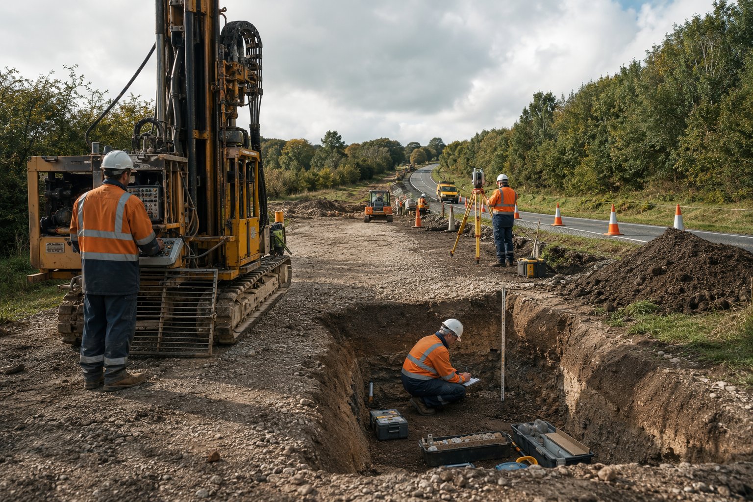
Drill the boreholes, dig the pits, push the CPTs — logging every stratum as you go: soil type, consistency, moisture, groundwater strikes and the depths of every change. Take disturbed samples for classification and undisturbed samples for strength and consolidation testing. Install standpipes or piezometers where groundwater matters — and on a tunnel or a deep cutting, it always matters.
Step 5: Laboratory testing
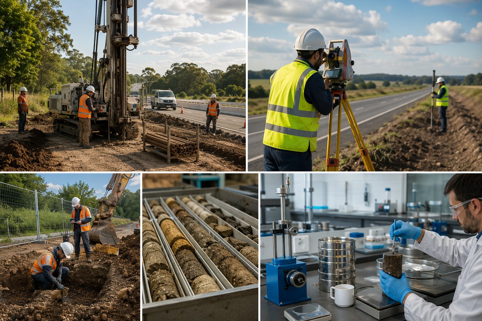
Classification tests — grading, plasticity, moisture content — plus the strength and deformation tests the design needs: shear strength, consolidation, compaction characteristics, and CBRs for pavement design. In saline Gulf ground add the chemistry: sulphate and chloride contents of soil and groundwater, which set the concrete durability class for everything buried.
Step 6: Report: factual then interpretative
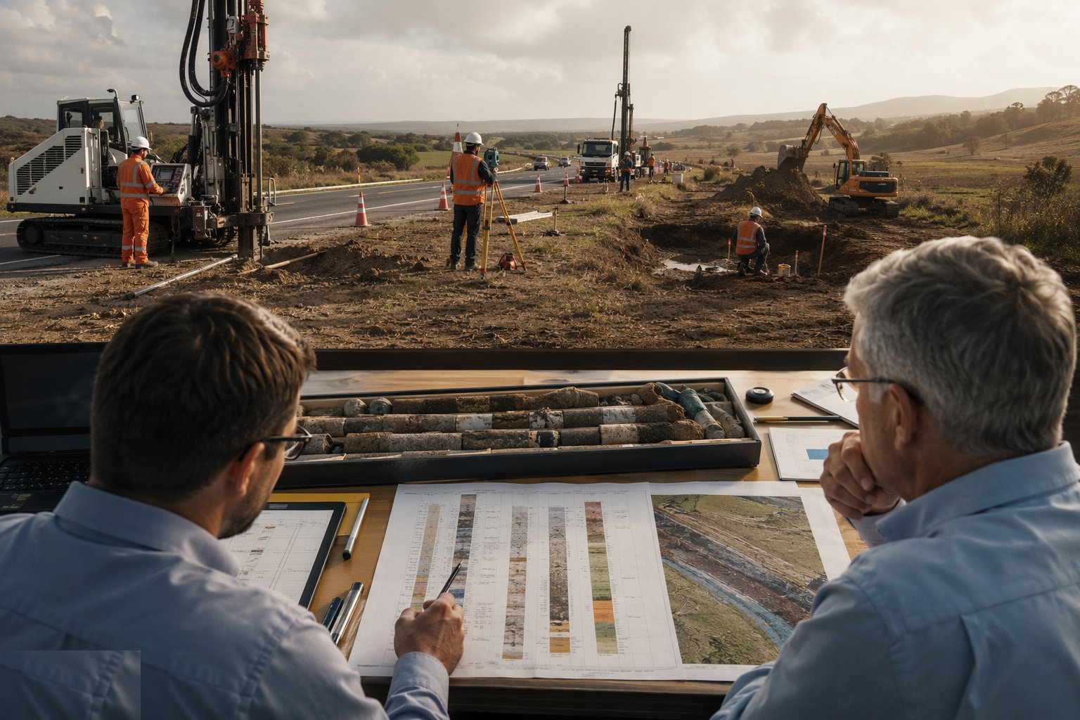
The factual ground investigation report presents the logs, the test results and the groundwater monitoring without opinion. The interpretative report — often the geotechnical design report under the DMRB — derives design parameters, flags the residual risks and recommends what the designer must do about them: treatment, founding levels, slope angles, dewatering. Design proceeds from the interpretative report, not from hopeful assumptions.
Step 7: Establish and protect corridor survey control
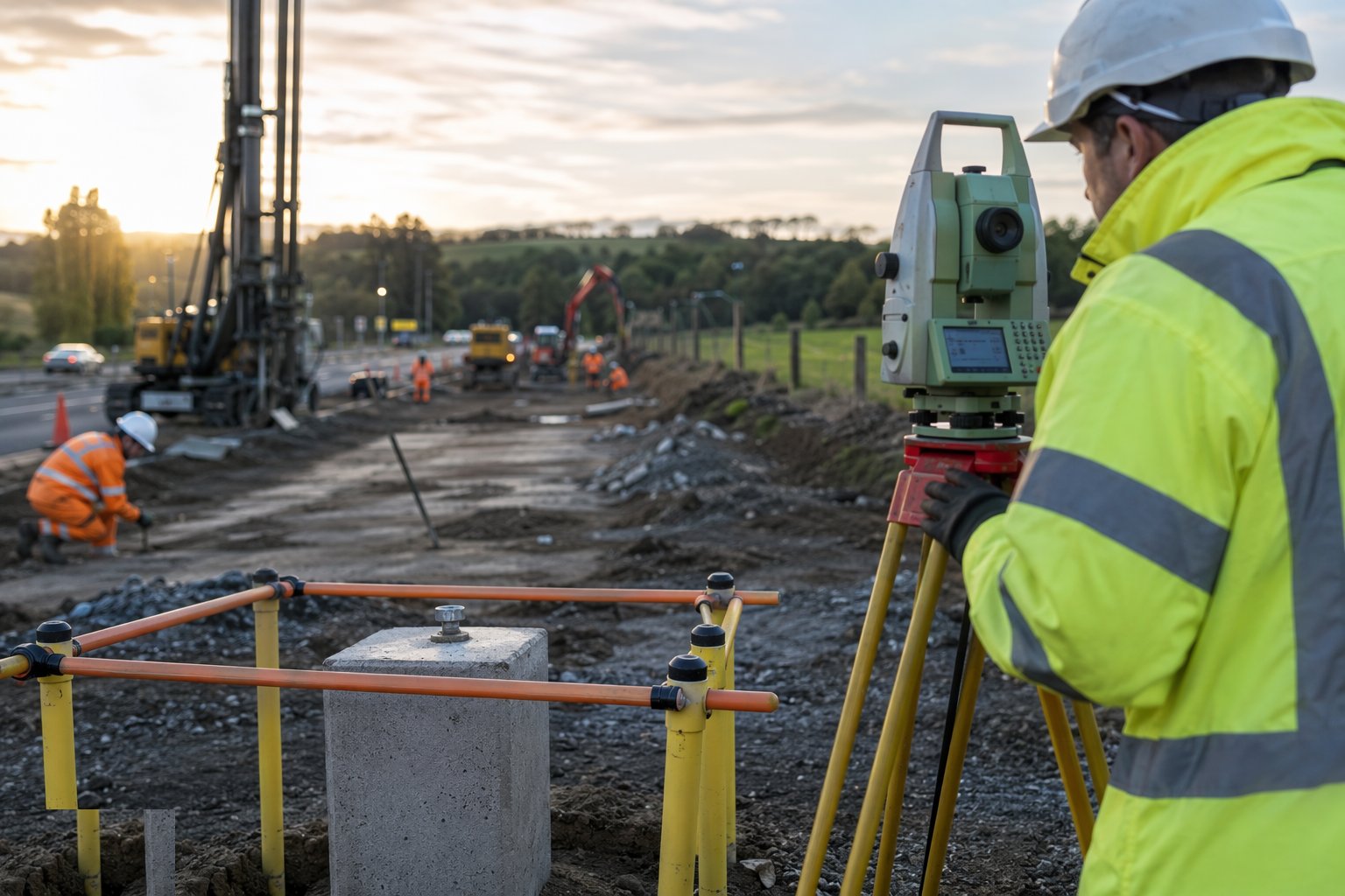
In parallel with the GI, establish the primary control network along the corridor: intervisible stations in stable ground off the working line, tied to the national datum — Ordnance Datum Newlyn in the UK, the Dubai Municipality datum in the UAE — and stated on every drawing. Secondary stations and benchmarks are distributed along the route, observed from at least two independent set-ups, protected with fencing and paint, and re-verified through the works as earthworks inevitably destroy some.
Plant and equipment
- Cable percussion (shell-and-auger) rigs and rotary coring rigs
- CPT trucks and tracked window-sampling rigs
- 360° excavators for trial pits and trenches
- Total stations, GNSS RTK rovers and base stations
- Standpipes, piezometers and dipmeters for groundwater monitoring
- GPR and geophysical survey equipment
- Soil sampling kit: tubes, jars, cores, and cold storage for samples
Quality control checks
- GI scope signed off by the geotechnical designer before mobilisation
- Borehole and trial pit logs completed in the field, checked against samples taken
- Chain of custody and calibration records for all laboratory testing
- Groundwater monitoring over a meaningful period, not a single dip on drilling day
- Control network observed from independent set-ups with misclosures within tolerance
- Sulphate and chloride chemistry on soil and groundwater in saline ground
- Factual report audited against the hole schedule — no missing holes, no missing tests
Safety considerations
- Service clearance and permit to dig at every exploratory hole — the GI is not exempt
- Trial pit support or no-entry rules below 1.2 m; ladder access and edge protection
- Rig stability on made ground and soft verges — outrigger mats and bearing checks
- Traffic management for any hole in or beside the live highway
- Dust, noise and vibration control for drilling in urban corridors
Common defects
- Too few holes where the ground changes — the classic origin of unforeseen ground conditions claims
- Groundwater level taken on drilling day only, missing the seasonal high
- Samples left in a hot container — moisture contents and classification tests compromised
- Control station destroyed by earthworks and reinstated approximately from memory
- Chemistry testing omitted in saline ground — durability class guessed, not derived
- Desk study skipped: the filled quarry appears in the middle of the embankment at compaction
Best suited for
- Corridor-wide control networks for kilometres of linear works
- Ground investigation targeted at structures, earthworks and drainage
- Detecting buried utilities before the excavator does
- Baseline surveys for monitoring, design and claims defence
How long does Survey Control & Ground Investigation take?
Typical duration: 4–8 weeks of fieldwork on a mid-size corridor, plus 4–6 weeks of laboratory testing and reporting; survey control is then maintained through the whole works..
Related processes
- Corridor Access & Enabling Works
- Bulk Earthworks — Cuttings & Embankments
- Drainage & Utility Corridors
- Subgrade Preparation & Capping
- Sub-base & Base Construction
- Asphalt Surfacing — Binder & Surface Course
- Kerbs, Footways & Road Furniture
- Road Markings, Signage & Lighting
- Testing, Commissioning & Asset Handover
- Survey Control & Ground Investigation in Bridges & Elevated Structures
- Survey Control & Ground Investigation in Tunnels & Underground
- Survey Control & Ground Investigation in Rail & Metro
- Roads & Highways sector guide
- Transport Infrastructure group