Getting the Lines Right: Setting Out and Survey Control
Every drawing carries an instruction about where things go. Setting out is how that instruction reaches the ground: a site engineer turning design coordinates into marks a machine driver can work to. Done well, nobody notices it happened. Done badly, the building is in the wrong place, and it is there to stay.
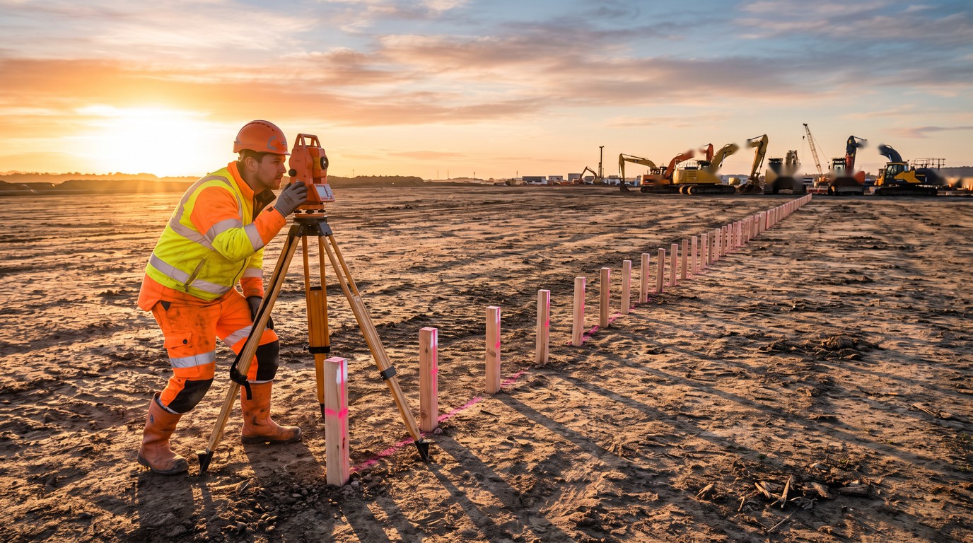
A typical process - not your site
Every site is different. This article describes a common approach on a typical project - not the sequence for any specific site. Ground conditions, access, existing structures and local requirements all change the method. Site-specific decisions belong with the project's appointed professionals - the principal contractor, the designers and the engineers named for the works. Treat this as background, not as a method statement.
The drawing has to touch the ground
Somewhere on a server sits a model of the building, complete to the millimetre and floating in a coordinate system. None of it exists yet. Between that model and the first pour stands a single discipline: setting out, the transfer of design coordinates onto real ground as pegs, nails, paint and string that an excavator driver can actually work to.
On most projects this is the site engineer's territory. They tend to arrive with the earthworks and stay ahead of every trade that follows, because nothing gets built until its position exists on the ground. The handoff is easy to describe and unforgiving in practice. The design team publishes coordinates, and the site engineer fixes them on the ground as physical points; everything afterwards is measured from those points, not from the drawing. A wall has no opinion about where it should be. It goes where the line is.
Control comes first
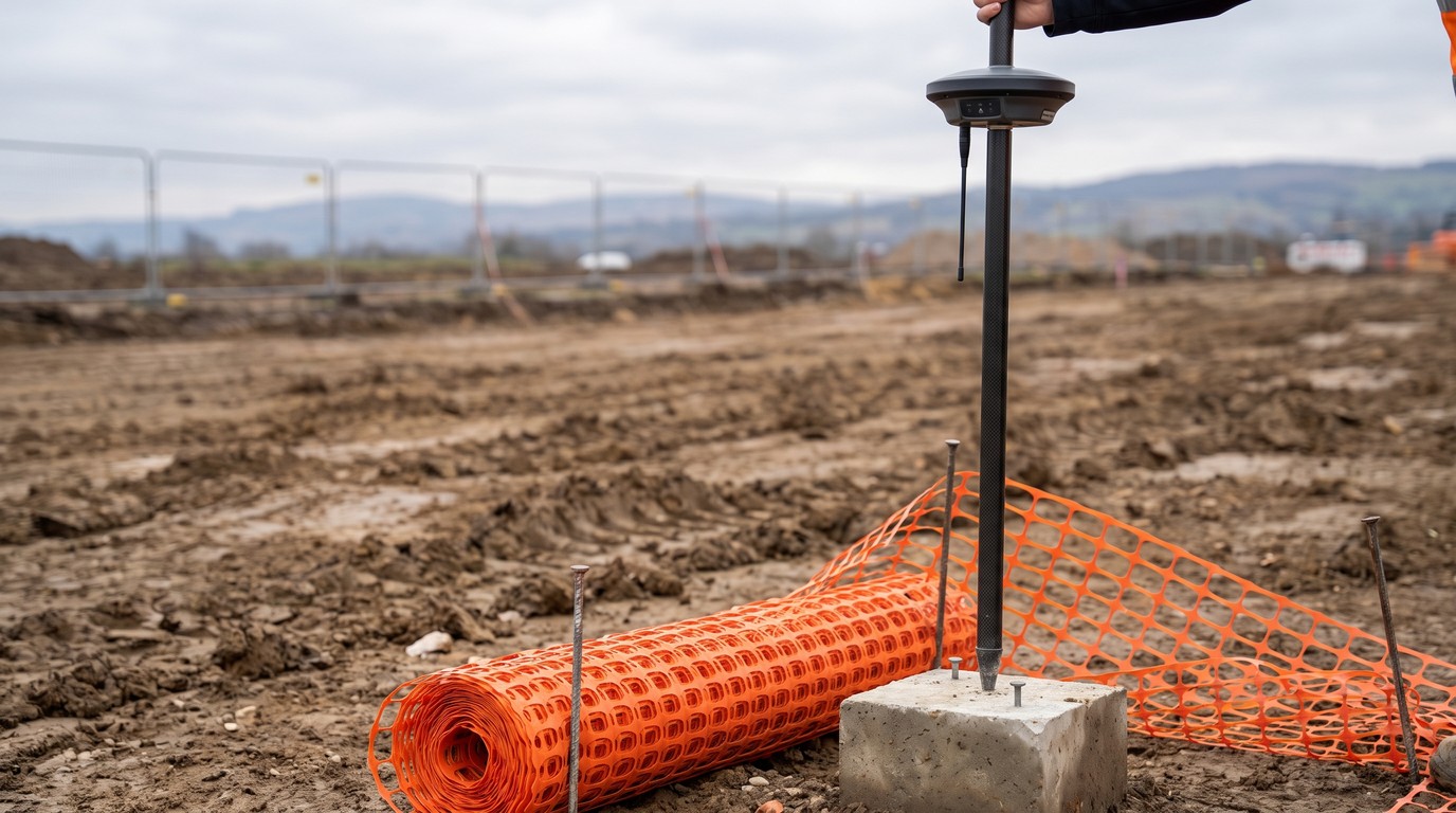
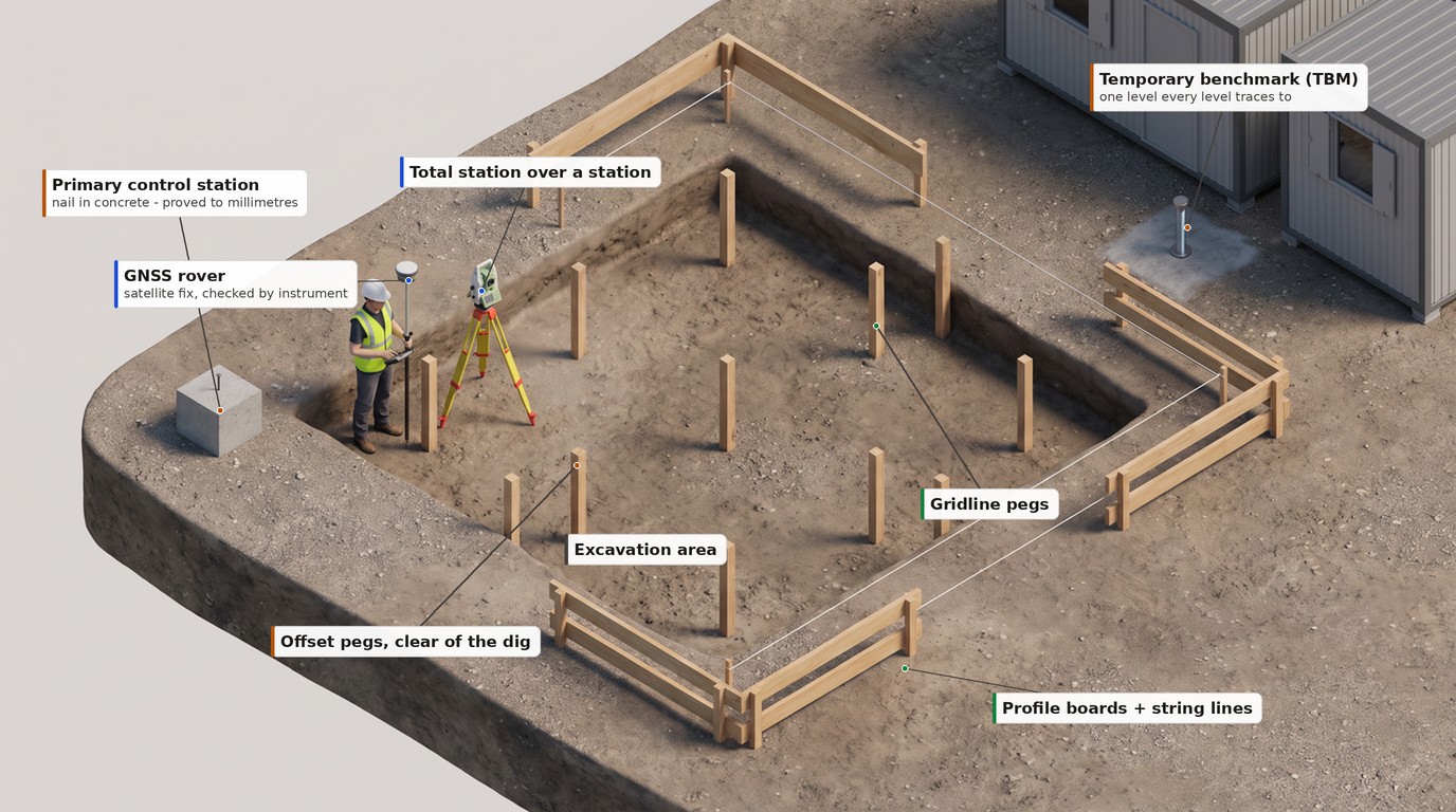
Before anything can be set out, the site needs something to measure from. A common first task is establishing primary control: a handful of fixed stations spread around the site - a survey nail set in a concrete block is the classic form - each with coordinates proved to a few millimetres before anyone uses them. Every line, corner and level on the project will trace back to these stations, which is why an experienced engineer treats them the way a bank treats the vault.
On many projects the station coordinates come from satellite observations corrected through a national network of base stations, which lets a single receiver fix a point to centimetre level, with post-processing tightening it further. From there the total station takes over: set up over a known station, it measures angles and distances to fix or check any point on site far more precisely than satellites manage on their own.
Placement is half the craft. Control goes where it can see the works but where the works cannot reach it: away from haul roads and stockpiles, and outside the reach of anything tracked or slewing. Stations still get lost. Each one is re-established and re-proved before anyone trusts it again.
Height is its own problem
Plan position is only half the answer; the building also has to sit at the right level, and levels need a datum. In Britain that is usually Ordnance Datum Newlyn, mean sea level as measured at a Cornish tide gauge a century ago, though plenty of projects run on an arbitrary site datum picked so that every level stays a positive number. The carved benchmark arrows on old churches and bridges still exist, but Ordnance Survey stopped maintaining most of them decades ago and now says plainly they should not be relied on. Height arrives by satellite these days, converted to the national datum through a transformation model.
Then it gets fixed locally as a temporary benchmark, or TBM: one stable point of known level - a bolt set in concrete near the site compound is a common choice - from which every level on the project is transferred with a digital level or the total station. Formation level, pile cut-off, slab soffit, drainage invert: all of them trace back to that one quiet mark by the cabins.
From coordinates to pegs
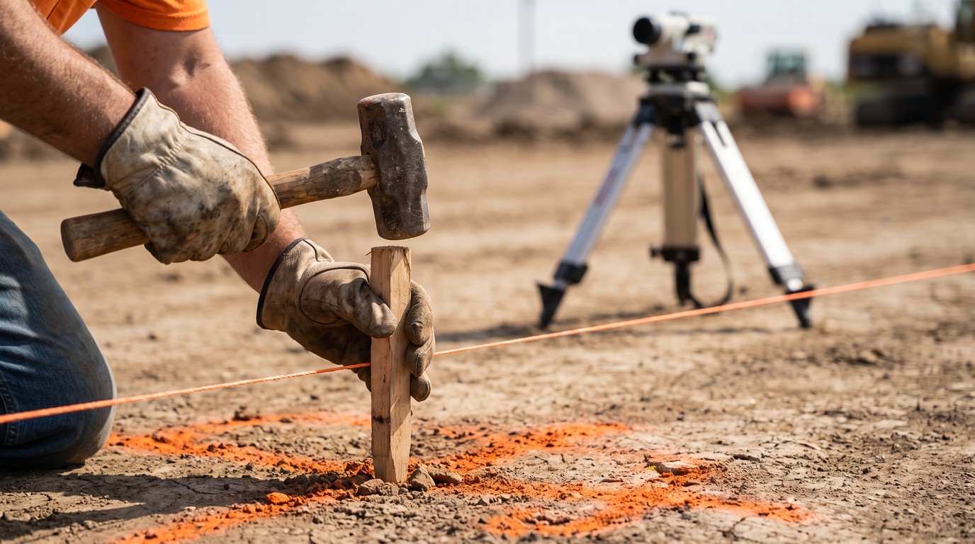
With control in and proved, setting out proper begins. Most framed buildings are organised around a grid, and the gridlines are what gets fixed first: the total station set over a control station, grid intersections called up from the design model, a peg with a nail in its head driven at each one. Robotic instruments have made this a one-person operation - the instrument tracks a prism on a pole while the engineer walks the point in, watching the offset on screen shrink to zero.
Pegs on the line itself have a short life expectancy, because the first excavation eats them. So the marks that matter go in as offsets: pegs set a stated distance clear of the gridline, out of the dig, from which the line can be re-established in minutes at any stage of the groundworks. On smaller projects, profile boards and string lines do the same work for footings and trenches. None of it is glamorous. Paint fades, string sags, pegs get clipped by machines - and the control network puts every one of them back.
The check is the job
Setting out runs on a rule that separates professionals from optimists: the person who sets a point out does not get to declare it correct. On well-run projects the check is independent - a second measurement from a different station, ideally by a different method or a different pair of hands. A gridline fixed from one station gets checked from another, and taped distances between pegs get compared against the design figures. Diagonals get measured too, because a rectangle with four correct sides can still be a parallelogram.
The logic is blunt. A setting-out error does not look like an error. It looks exactly like a correct point, and every trade that follows will build on it with complete confidence. Professional survey practice leans the same way: accuracy is something you specify and then demonstrate, not something you assume. An error caught at the peg costs a morning. The same error caught at the third lift of a concrete frame costs a programme.
What a wrong peg costs
The industry keeps its cautionary tales close. The best known is the road bridge built over the Rhine at Laufenburg in 2003, built out from the German and Swiss banks at the same time. Germany measures height from the North Sea. Switzerland measures from the Mediterranean. The difference is about 27 centimetres and both sides knew it - but the correction was applied the wrong way round, doubling the gap instead of closing it, and the two halves were heading to meet 54 centimetres out of level. The mismatch was caught while the halves were still in the air, and the German approach had to be lowered before the deck could close.
Most errors are smaller and closer to home. A strip foundation cast 300 millimetres over a boundary line is a legal dispute as well as a rebuild, and holding-down bolts 50 millimetres off grid can stand a steel erection gang down on their first morning. A pile group in the wrong position means redesign and extra piles, with the weeks that go with them. Against all of that, survey control is close to the cheapest thing on the project: one engineer with an instrument and the discipline to check.
Which is why, on most projects, the site engineer is out at first light while the site is still quiet, re-checking a line that was correct yesterday. Nobody will ever praise a peg for being in the right place. That is the point.
David
Founder, BuildPedia